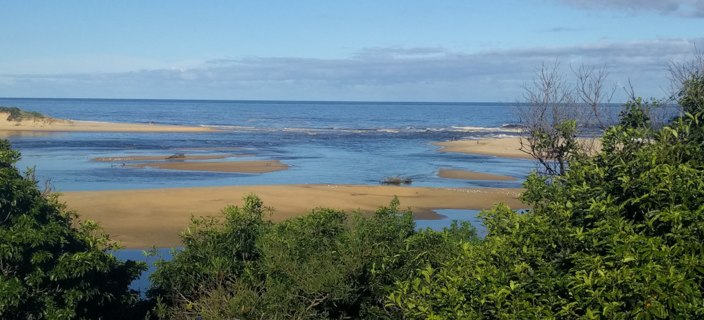
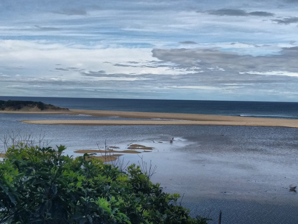
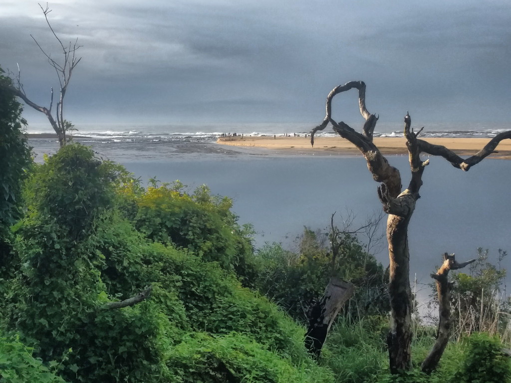
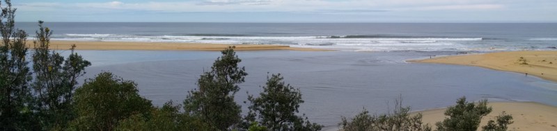
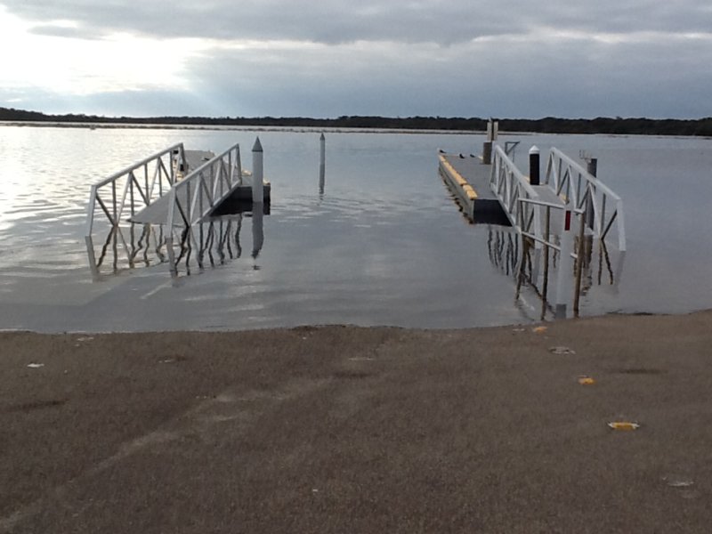
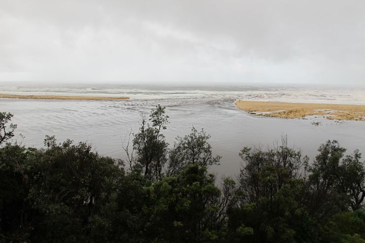
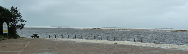
22
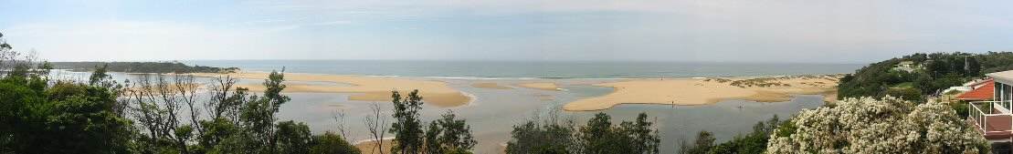
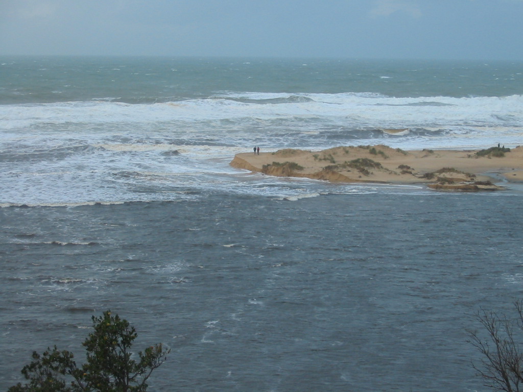
July 2025: A team of about 15-20 Parks Victoria workers
with shovels officially opened the sand bar at Lake Tyers today. It
was dug through about 11:30 and it broadened from there to around
20-30m across, and more towards the eastern end. There was a great
conference of people at the opening with about as many officials as
diggers, and about 20 onlookers behind some boundary tape. This is
an unusual opening as it is the first time in my 25 years living
here that officials have opened it in broad daylight and the process
being observed. Most other openings have been clandestine night
operations carried out illegally. Hopefully this opening will exist
for a month or so, and allow the intake of prawn larvae into the
lake so we might enjoy a prawn season in the new year (the the prawn
numbers probably maximising around Easter).

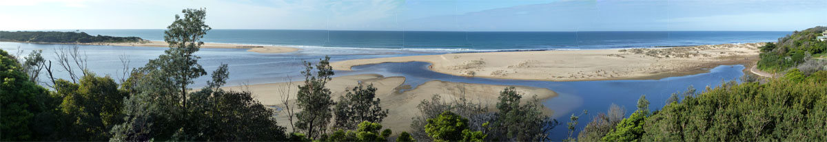
Before opening
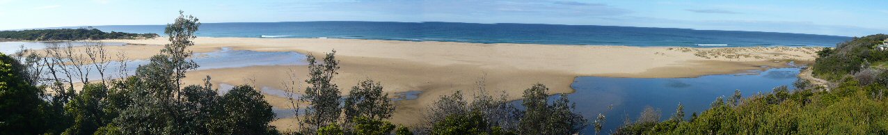
After Opening
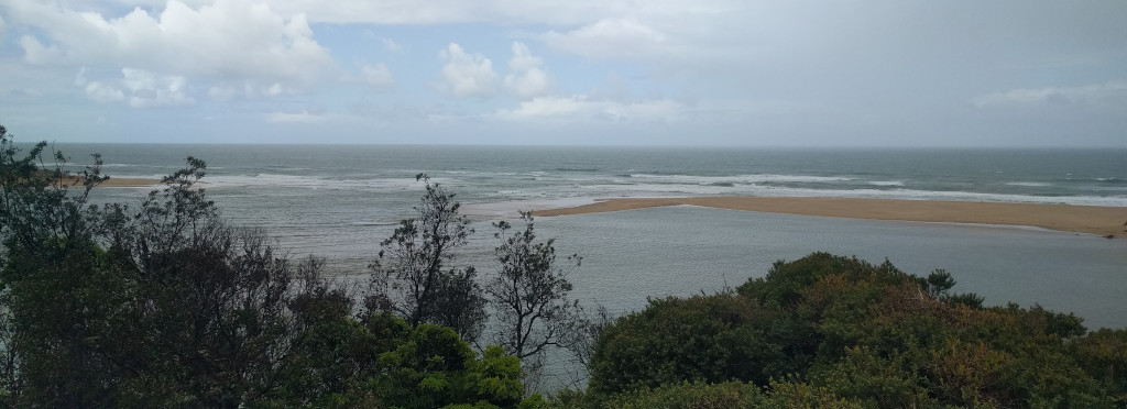
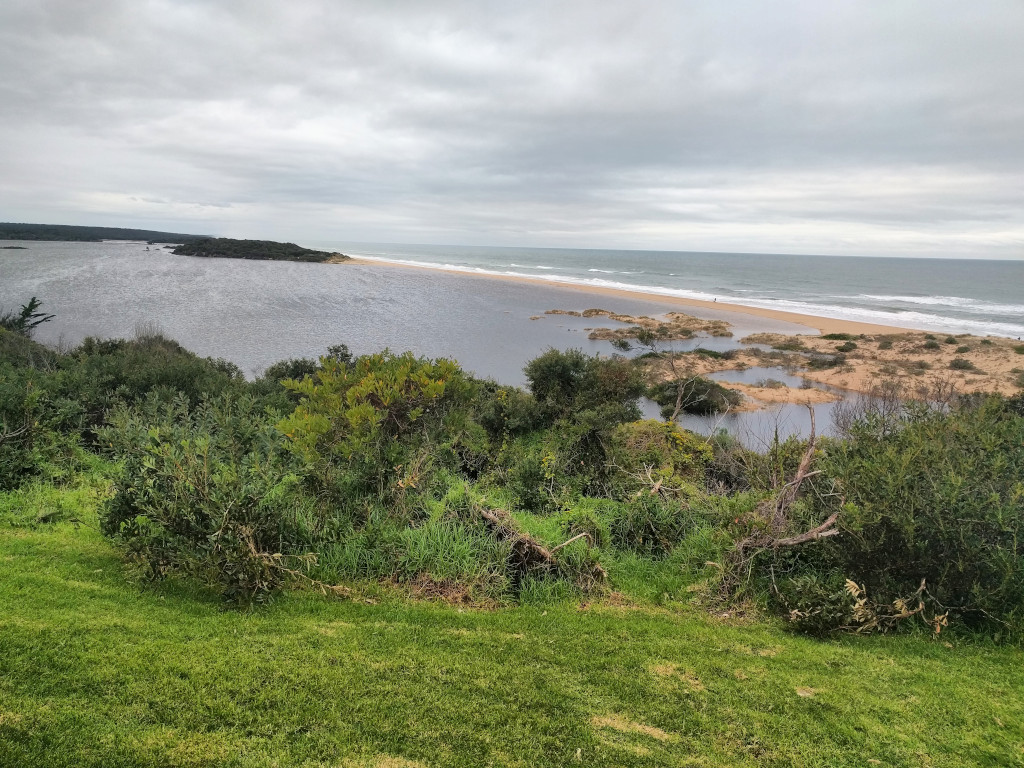
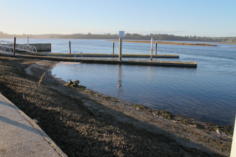
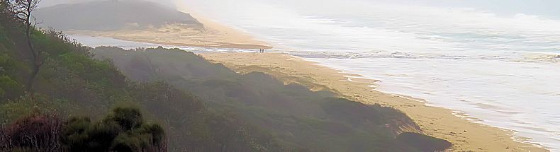
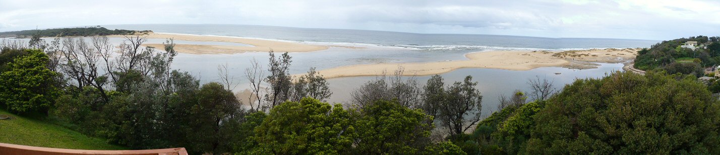
4 April
2025: The lake has closed again and now at 60cm as
measured on the Boat ramp #2 rule. This is probably at the high
tide level as bar gradually rose until no more washed in. As the
sandbar rises further it will be fairly porous and gradually
stabilize at the mean tide level of the ocean where as much that
seeps in, will seep out.
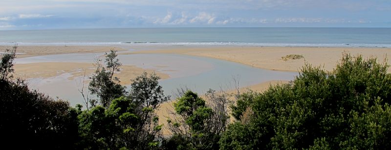
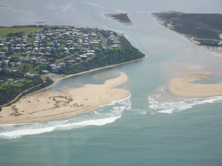
18
February 2025: Well after two and a bit years Lake
Tyers is open again. We had the majority of the two years with a
depth of above 1.5m and below 2.10, It is only recently that the
lake reached 2.2m and was finally dug through (unofficially). This
persistence of a high level with the lake and its resistance to
breaking open has caused much discussion in the community. Those
that took the view early on that "Nature" should be allowed to run
its course were gradually moved over to the "let's open it" way of
thinking. Unlike prolonged periods where the lake was nearly
empty, the persistent high level was water logging mature trees
and killing them.

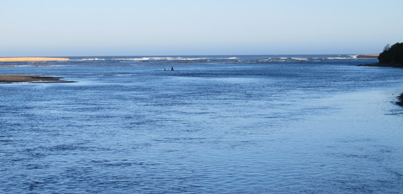
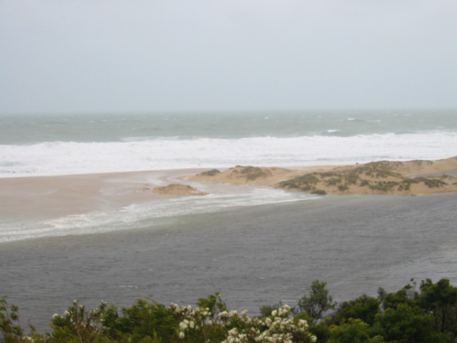
Boggy Creek running
hard.
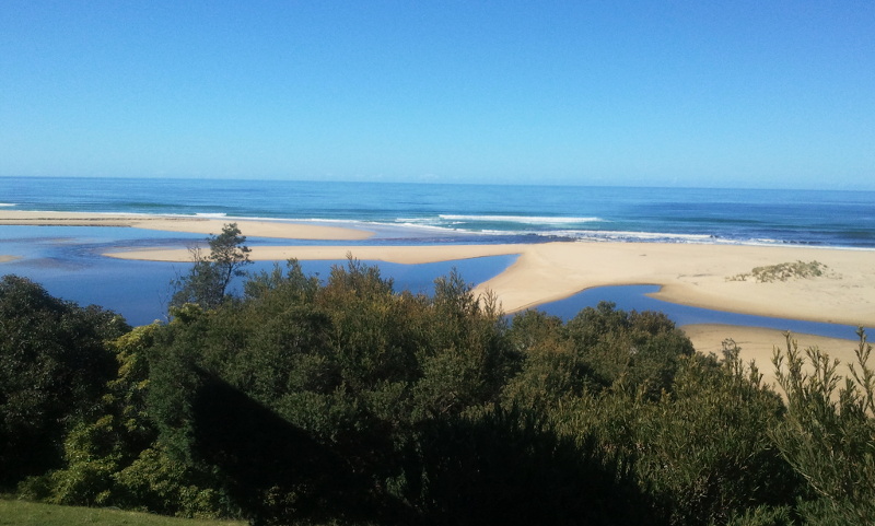
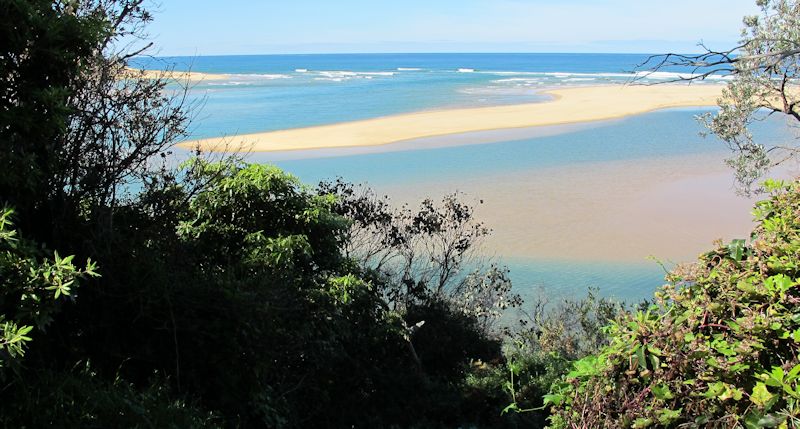
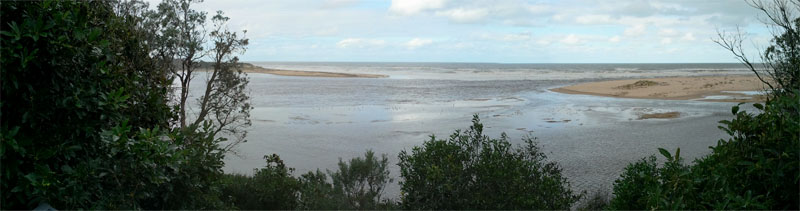
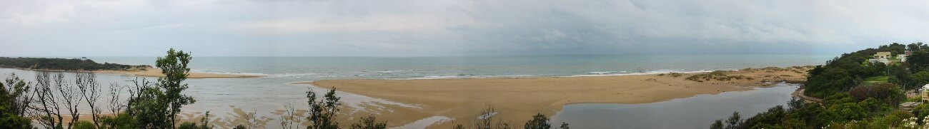
View of the opened
sandbar at Lake Tyers Beach.

Tavern Car Park
view at Lake Tyers Beach
20
January 2023: The lake has
gradually closed over the last fortnight and and only high
tides and swell is pushing any water into the lake.
14
November 2022: The lake has opened again and at the
far easterly end this time.
21 June
2022: We have easily passed last years opening
anniversary and no sign of the lake closing. The entrance is
looking healthy and and only small signs that it is likely to
close over soon.
4 April
2022: The lake has opened for the third time, this
time within 12 months of the mid winter opening. This would appear
to be unprecedented for most people living around Lake Tyers. It
was unusual as the lake level on the official blue rule at Number
Two Jetty was only reading about 1.4m when it opened. We had had
wild storm leading up to it and it may have softened the sand bar
that had not properly consolidated. This came as a complete
surprise to me as I had always insisted that the lake level had to
reach at least 2.1m to open. However quite a good opening has
occurred and the Prawn season has been brought to a sudden halt.
Most of the Prawns immediately took off into the ocean, and good
luck to them.
9
September 2021:The lake has opened again within
3months. This time a more spectacular and longer lasting opening
was achieved. Tidal effects are being produced right up the lake.
The lake teetered
on opening for quite a few days with a precariously small sandbar
separating the lake from the ocean at high tide. These people
were toying with disaster, trying to tickle it into opening.
Eventually it broke through towards the middle of the sandbar this
time and really made a decent cut. It opened about 10cm lower,
around 210cm on the measure at Nos2 Ramp, due to the lower
sandbar.
Even though it
opened with less water, the opening was much bigger and longer
lasting. This was the opening on the 25th September, 16 days
later. Last time the lake had closed within a fortnight. Very
tidal and should ensure we have Prawns this Easter :-)
8 July
2021: The Lake has closed over with a just drift of
wash over the bar earlier this week. The original cut was filled
quickly and the opening moved 20-50m along the beach to the west
and washed into a shallow bar, and then has almost filled this
week. This has been a very short opening and raises our hopes it
may have two openings this year. The lake is still at a reasonable
level and a good, wet winter could set us up for another opening
later in the year. Only time will tell....
14 June
2021: The lake has finally opened. It took 4 years and
11 months since the last time it opened in 2016 (See below). As
usual there was frenetic curiosity about the lake and what was
about to happen. We had more theories than Silver Gulls flying
around picking over the tit-bits of information. The lake burst
through at the eastern end of the sand bar and appears to be a
natural opening. We had the usual cast of anemic heroes wanting to
dig it through, but fortunately they did not get to make their
weary statement. We can now look forward to the opening moving
along the beach and benefits of being tidal for a few months.
There are plenty of photos of FB and other pages these days so
they will not be repeated here, but more photos will be added as
the opening progresses. It is not just an event that occurs in a
few hours and everyone goes back to forgetting about the lake, it
is an organic process with many features to be thought about. For
the moment though, enjoy!! A worthy spectacle!! (Don't forget to
log your photos with the Fluker site behind the toilets, above the
car park).
This shot below
was taken 8 days before hand and before about 60mm of rain.
22 April
2018: We have had very little rain this year and the
lake level is at an all time low. This is worse than last year
(2017) when the lake did not open at all. We are looking down the
barrel of a serious drought. There has been very little rain
bearing low pressure systems off Sydney. Hence there been no
major South East Coast Lows storms
coming down the East Coast to bring rain into our part of the
country for ages. This does not look like it will improve in the
near future. These are the only systems that bring high rainfall.
Most rain bearing lows pressure systems from the west have run out
by the time they get here, and there have been very few of them as
well.
27
October 2016: After a storm last weekend the swell pushed
back up the opening and easily washed over the sandbar. This
activity freshened up the opening quite a bit and re-sculptured its
shape. Now that the storm is over we can appreciate the changes.
People observed waves rolling in almost uninterrupted from the ocean
the the edge of the Tavern Car Park. Others observed that the water
was coming in so freely it looked like two openings. Further around
at Red Bluff the water was pushing up the track! I was lucky enough
to get to chat to Bill Mackin for a few minutes and observe the
changes, and I would like to thank him for his support for the LTB
Website over the years it has been running! Thanks Bill, your
support is appreciated. (22-4-18 Bill has since sold his house and
moved on).
7 July 2016: The Lake has
opened naturally after torrential rain up in the catchment area with
falls around the 150-170mm mark . Lake Tyers Beach was only able to
muster about 40mm (some locals reported around 60mm). The BOM Radar
site indicated a very heavy fall associated with an East
Coast Low across this area.
The lake rose about 140cm in the matter of a couple of days and
reached the magic peak of about 220cm on the Number 2 Boat Ramp Rule
at about 8 am and it began to break through people were able to get up
relatively close (definitely not recommended as the sand can collapse
without warning and you could be washed out) and record some video of
it.
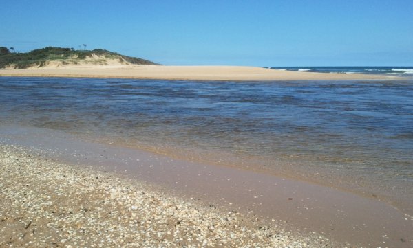
4 December 2015: The bar has
just about returned. Only a small amount washing in at high tide and
then a trickle out over the very minimal bar the rest of the tide. The
water in the lower lake is exceptionally clear at the moment and must
be ideal to swim in around the bar. Make the most of it now as it will
lose that pristine state as summer goes on.
27 November 2015: A huge South
Westerly storm has blown in yesterday and reopened the lake. The
sandbar that was consolidating the day before has been washed out and
there is a clear run into the ocean. The incoming high tide was
washing in this morning with a line of about 12 Pelicans fishing for
any treats trying to enter the lake. There is a shallow, but
significant bar on the inside of the opening and this will probably be
the basis for the next bar to build on. However for the moment the
complete closure has been set back at least a week or two.
22 November 2015: The lake has
closed over and barring any major storms or rain events in the next
few weeks will consolidate into a sandbar that will last the summer
months until we see it break again in 2016. Those people who chase the
Prawns will be happy as it nmeans the main population is now hemmed
into the lake and trapped. We will look forward to new fishing
conditions and challenges.
9 Augus 2015: The Lake Tyers
sandbar was breached last night and the lake is emptying today. There
is a massive slot cut throught the center of the sandbar and the water
in the lake is draining very quickly. Unlike previous years this slot
is massive and not shallow and wide. The wait for a really high level
before an opening occured (naturally or otherwise) appears to have
been worth it. The lake level was measured
at 2.18m (218cm) the day before the breakout, so the estimate of 2.2m
for a break out was pretty accurate.
 NB:
Extra close up of the opening Those people sure look small....
NB:
Extra close up of the opening Those people sure look small....
helvetica,arial,sans-serif;="">
2014 Summary: As of start of Februrary the opening of 2014
had properly closed and a substantial sandbar is in place. We will
have to patiently await another opening maybe in the middle of the
year.
The
2014 opening was one of the longest for quite a while going from the
mid August to mid January, it will definitely mean we will have
native prawn larvae that come down from the northern seas in the
lake again for a few more seasons. We also have King Prawns that
have been introduced in a stocking program to the lake as well.
These are also present naturally but the study is seeing if it is
possible to boost these numbers.
20 December 2014: Some heavy
rain probably about 100mm over the last two months has kept the
opening fairly deep and will definitely be running in the new year.
the channel could be a very popular prawning location. However take
care (especially at night as there is a big danger of being knocked
over and swept out).
1 September 2014: A
reasonably shallow opening but may narrow and deepen with daily
tidal movement.
20th August 2014
Well almost exactly a year later but this time opened by man, not
naturally. (From #2 Boat Ramp)
The opening from the Number 2 Boat ramp looking back towards the
ocean, a broad shallow opening at this stage.
The
lake has been dug through by a person from Lakes Entrance. The
authorities were contemplating opening it themselves, as they felt
more rains was imminent and very likely to cause the lake to open
on its own. This was not good enough for one person at least who
took the matter into his own hands. Some claim it needed another
20cm of water to go naturally, and this extra depth of water is a
massive amount. The extra water could have cut a deeper channel
and increased the chances of significant fish stocks being
exchanged with the sea. If the opening seals over quickly, then
the critics will be right!!! 2013's opening, a natural one,
remained open from June to November and allowed very significant
tidal exchanges. (We did get 30-40mm rain in the following week,
so we could have waited).
The jetties were covered leading in to this state.
As shown above by Rob (Daff) Rawlings Photo!!
(Almost like launching your boat in the car park!!)
25th Agust 2013
The opening has been very wide and tidal flows very strong. Many
locals say this is an exceptional opening.
26 July 2013
The sandbar is forming its usual patterns inside the lake,
revealing where past breaks have been.
18th June 2013
Well the sandbar has gone again, but something of a record this
time in that heavy rain started on Wednesday pm with the lake at
its lowest ebb for ages, and filled through to opening Tuesday am.
No incremental build ups and final break through, just straight up
and through this time. A real sprint!! Estimates vary widly about
the rainfall some say about 200+mm other say closer to 150+mm,
either way it was a spectacular fill.
Below is a dramatic shot of the current flowing out of the lake
into the ocean taken from Beacons Reserve.
2012,
9th of October
Nearly closed over, only high tides are washing into the lake, the
channel is just a shallow trickle most of the time.
2012, 6th of June
Wednesday morning (below) it has truly opened and water
moving out to sea,
Tuesday Lunch time (below), not sure if this will be a full
opening or not but here are some photos to give you the atmosphere
of the process.
A broad shallow opening, or should it be called a bridged sandbar
as the lake is just not dropping quick enough. Maybe the tides are
not low enough to create a big "channel cutting" rush?
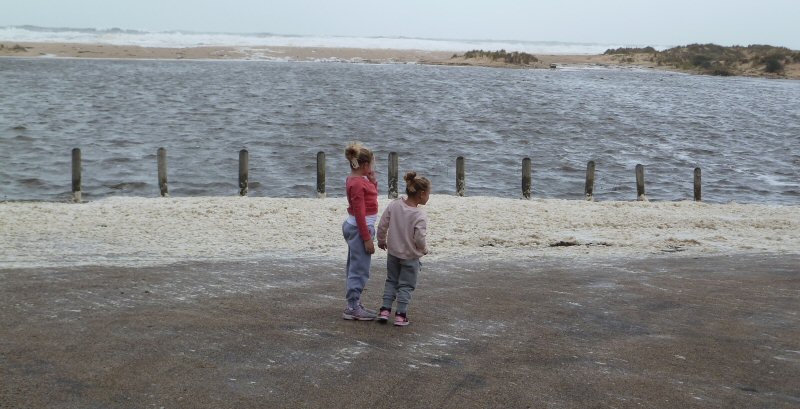
Girls enjoying a cold day's sightseeing in the Tavern car park.
Is there are mad man loose out there that I can see?
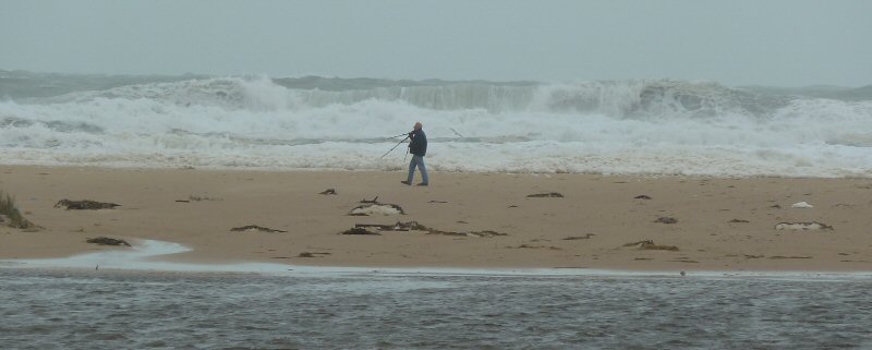
Phew!!! Thanks goodness - it is not a mad man, just Frank Flynn
chasing the perfect shot, talk about keen???!!!!
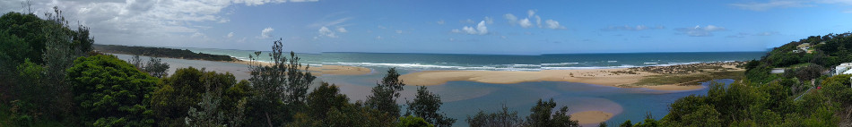
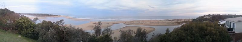
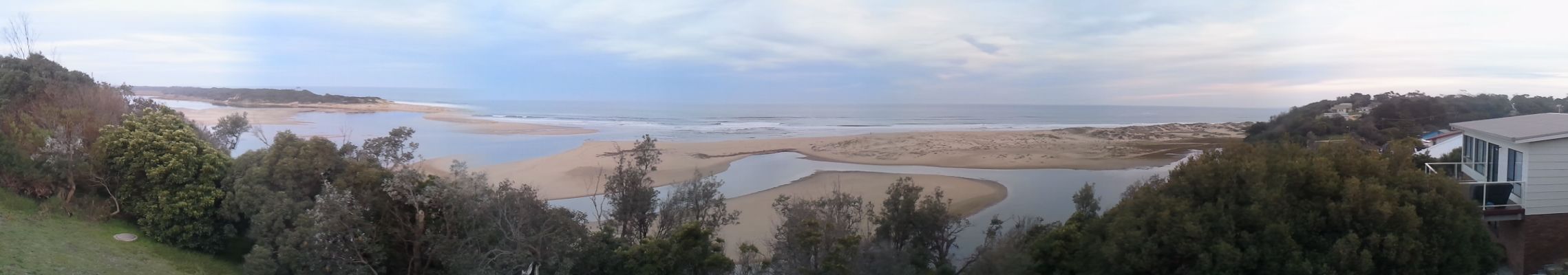
Panorama Christmas/New Year at
Lake Tyers 2011
(A full 360 taken and prepared by Nicholas Ward, click on it if
you like to see the big 1.4Mb image )

Panorama - August 27 2011 the lake has opened again, but
closed by Xmas.
Panorama - June 2011 and the Lake is still closed but much
deeper.

Panorama - August 2009 and the Lake is closed.
However
it has opened in recent times and, below is chronicled the few
openings that I have witnessed (in reverse order
chronologically).
December2008/January2009:
This time the sand bar was breached artificially with shovels.
The gap was made to the east of the last opening and was not
that deep or long lasting as the lake was not that high when the
breach was made.
Panorama of the westerly man
made entrance.
How did a couple of men dig though the sandbar? Well the
photograph below shows that during a storm in December 2008, the
bar was low enough for storms to wash over into the lake. If the
bar had been left alone it would have probably built up and the
high water retained for quite a while, until it burst through
naturally again. Once a narrow channel had been dug that night,
the small trickle became a deluge, and the bar was broken.
Apparently the people responsible were fined for this
unauthorised interference.
Panorama of a naturally made breach
December 2007: Natural entrance shown below created by storms
earlier at the middle of that year. Note the entrance is silting
up with the easterly drift of sand along 90 Mile Beach. The entrance is
nearly closed again.
-
August 2007: The eastern side of the entrance is building up
with sand wash from the 90 Mile Beach and generally prevailing
westerly winds.
Looking
from
the air after a few months (September,2007) it looked like
this...
The
entrance created shown below was at the height of the storms mid
2007. The regional floods stopped traffic on the Princes Highway
at many river locations, as the Tambo, Nicholson, Mitchell, Avon
all flooded. The most significant for traffic was the Mitchell
River at Bairnsdale, being the last main road to open.
The huge force of this natural opening in June 2007 is evident
as shown here with the breadth and energy of the breach. The
lake was very tidal and huge quantities of sea water washed in
and out on the tides for many months afterwards. The fishing in
the lake was quite depressed during this time.
However it is not recommended to be this close to the action!!!
No matter how interesting!!!
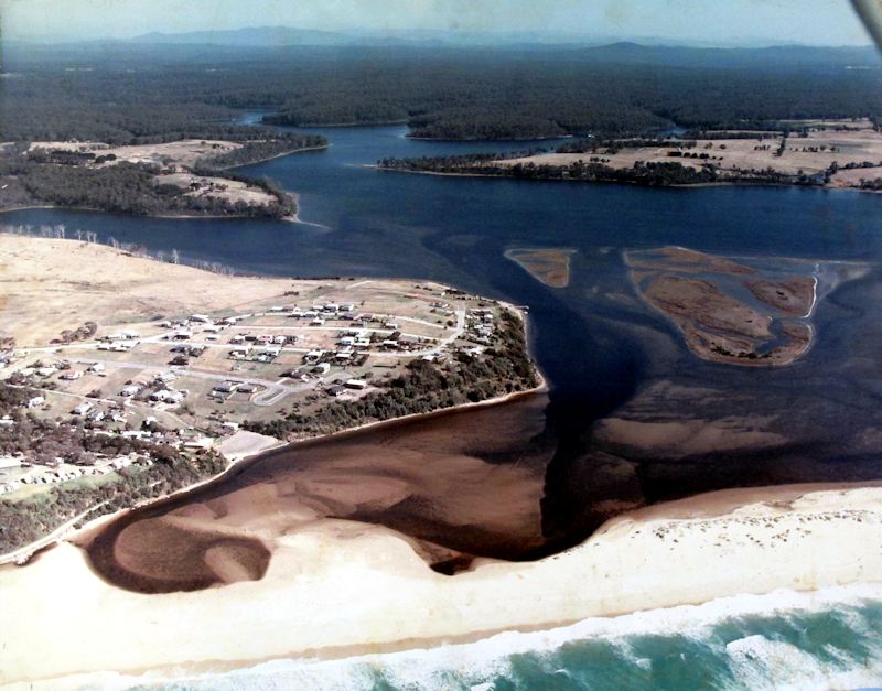
Ariel Photos: This following picture is
in the posession of Gus and Lorraine and have kindly allowed
me to show a retouched copy of the original. If you have the
band width you may like to click on the photo and see if you
house was built then. Does anyone have an idea of the date of
this photo? Well one person (thanks!) has phoned in and places
it in the 1970's. Can anyone else corroborate that suggestion?
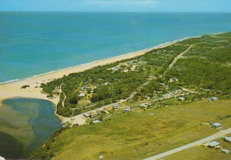
Just to further whet your taste buds, here is an older aerial
photograph of the early Lake Tyers Beach with some indication of
the sand bar. Bec and Daff have this as a kind of postcard, do
you have anything you would like to share? Thanks to a fan of
the site we have agreed on 1985, however another person has
suggested it is more likely in the 1960's. If you check it
closely you can see the
massive Norfolk Island Pine (now in the front decking of the
Tavern)
when it was much smaller.
Check
out these aerial images of the Lake
Entrance
opening courtesy http://www.lesmp.vic.gov.au - very
interesting indeed! Especially the 1944 photo.


